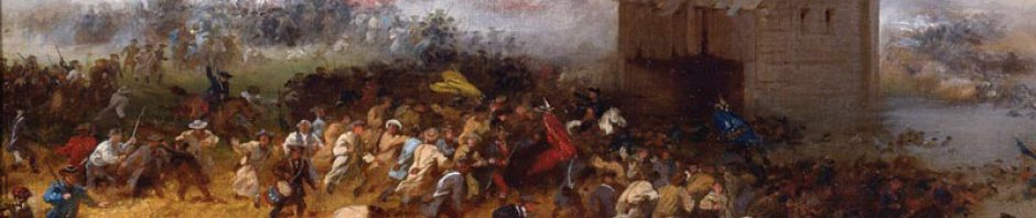
Geography physically connects us to the past in a way that can dust the cobwebs off of history and make it more accessible to the modern world. This interactive map shows where Smallwood’s men came from and the places where they went before, during, and after the Revolutionary War– places that are familiar to us today. The story of the First Maryland Regiment extends beyond Annapolis and Long Island, and the military service of the individuals who survived the Battle of Brooklyn would scatter them from Canada to Cuba.

The map’s labels are color coded into three categories: revolutionary activities, companies, and individuals. Each division focuses on a different geographical aspect of the First Maryland Regiment. The revolutionary activities markers are all related to the war after the regiment had received orders to march to New York. The company label narrows the focus from the national to the state; it shows where each company originated and where they were posted before leaving Maryland. The individuals category shows where specific soldiers settled after the war. All of the labels in the individuals category use the information in the First Maryland Regiment Roster, which we have posted online.
Make sure to zoom in enough so that all of the different markers are visible and easy to click, or use the map’s sidebar to select locations and individuals. Once you have clicked on a marker it should open up a short description. Many of the entries include links to biography pages and blog posts for more information.
If you have any questions about the map or find any bugs, please leave a comment below or send an email to msamaryland400@gmail.com.

